Abstract
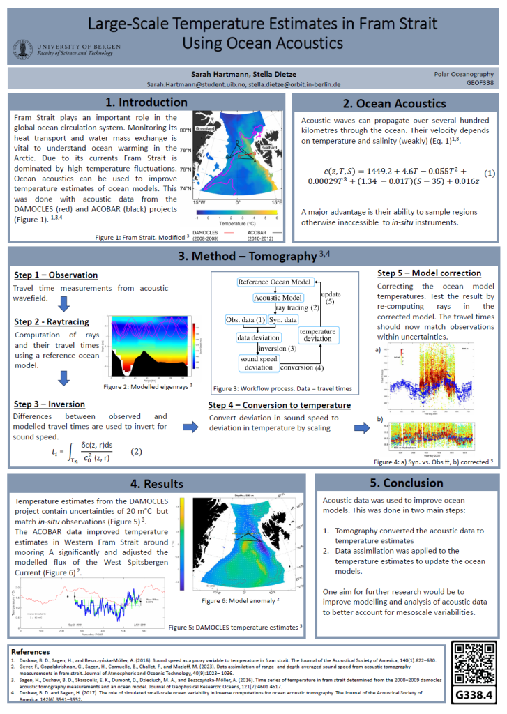
Fram Strait, located between Svalbard and Greenland, is dominated by two major currents: The West Spitsbergen Current brings saline and warm Atlantic water northwards, and the East Greenland Current brings fresh and cold Arctic water southwards. These mesoscale variabilities in temperature and salinity cause significant fluctuations within the water layers in Fram Strait. It is challenging to measure salinity and temperature in this area because of the presence of sea ice and depth-range limitations of in-situ measurements, making it challenging to create accurate ocean models.
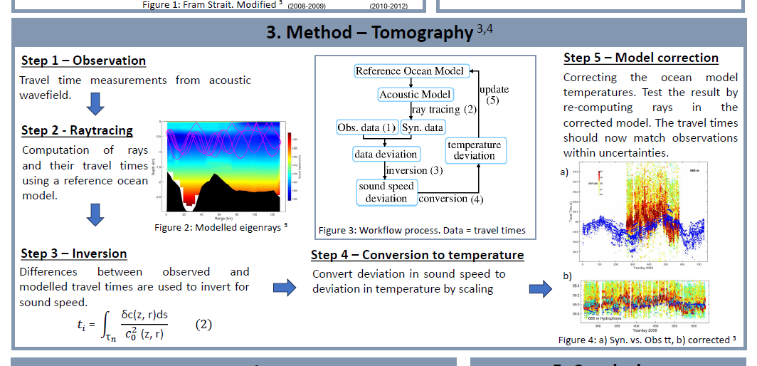
This poster shows how ocean acoustics can be used to improve temperature estimates. The sound speed of acoustic waves, which can travel hundreds of kilometers, depends on temperature and salinity. The propagation and travel times of acoustic rays can be computed using ray tracing. The travel times of these acoustic waves can then be processed to provide large-scale temperature maps. Acoustic data from two experiments has been processed and is presented showing temperature maps in Fram Strait over distances of hundreds of kilometers. The first experiment shows that temperature errors are about 20moC. In the second experiment data assimilation was used to integrate the temperature measurements into a regional ocean circulation model, giving improved ocean temperature estimates. This shows that acoustic data can be used to improve temperature estimates in ocean models and thereby contribute to a better understanding of climate changes in Fram Strait.


